Practical
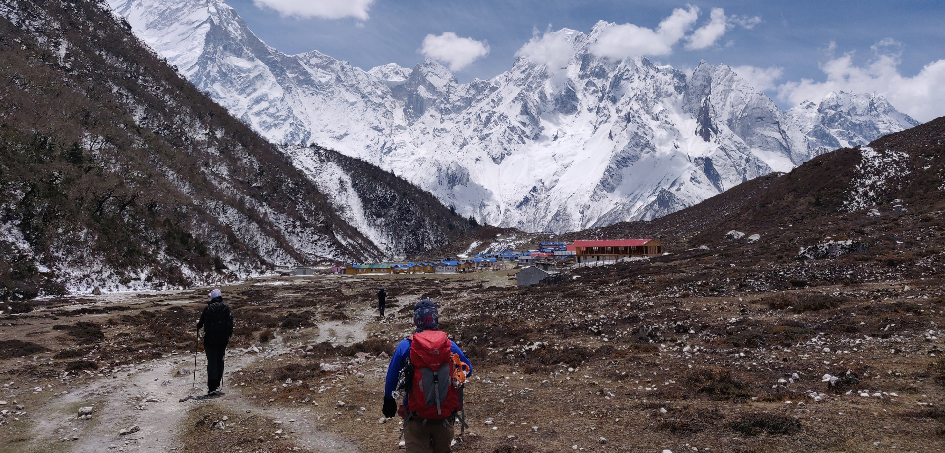
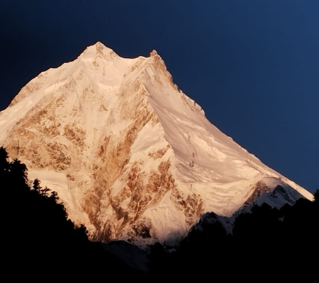
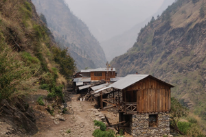
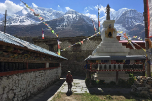
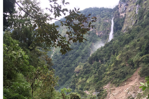
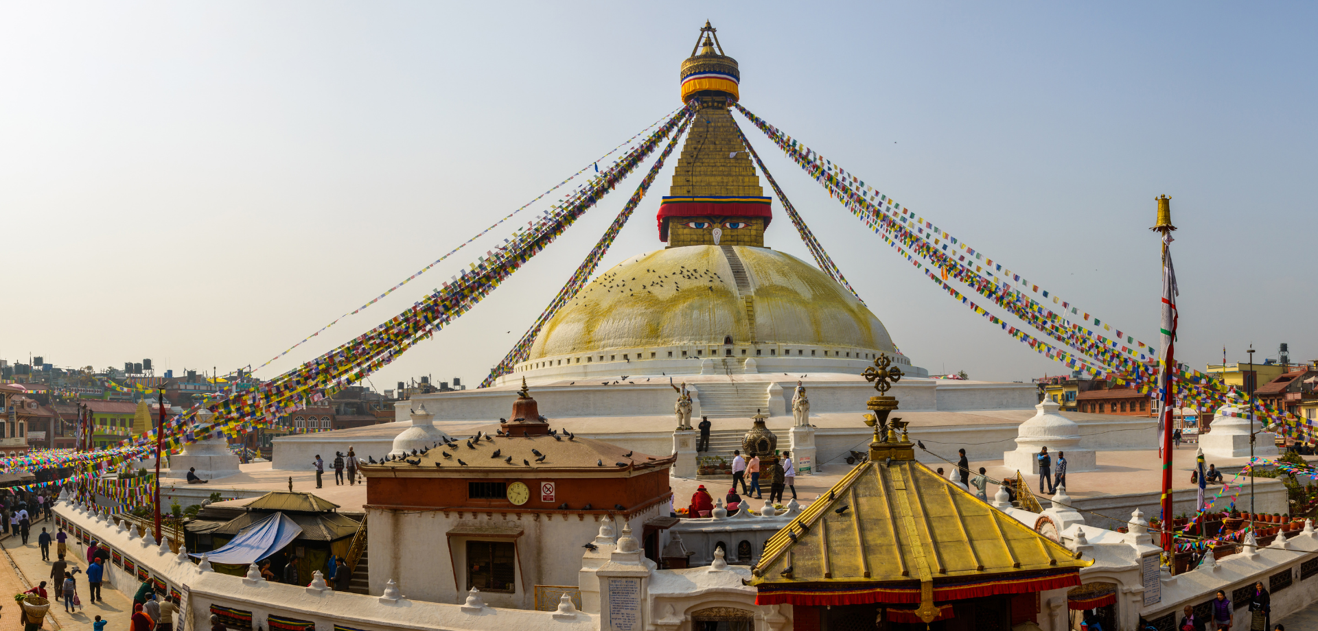
The Manaslu with Tsum Valley Trek is a unique and adventurous trek that takes you to one of the most remote areas of Nepal. This trek is less well-known than the Everest or Annapurna regions, but is at least as impressive in terms of nature, culture, and authenticity. Precisely because this area is not yet overrun by tourism, facilities along the way are basic and good preparation is important.
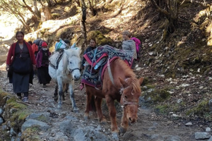
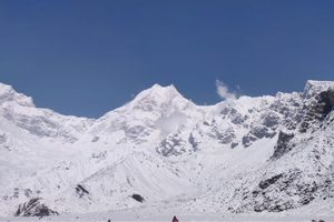
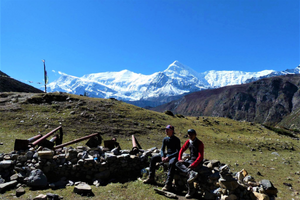
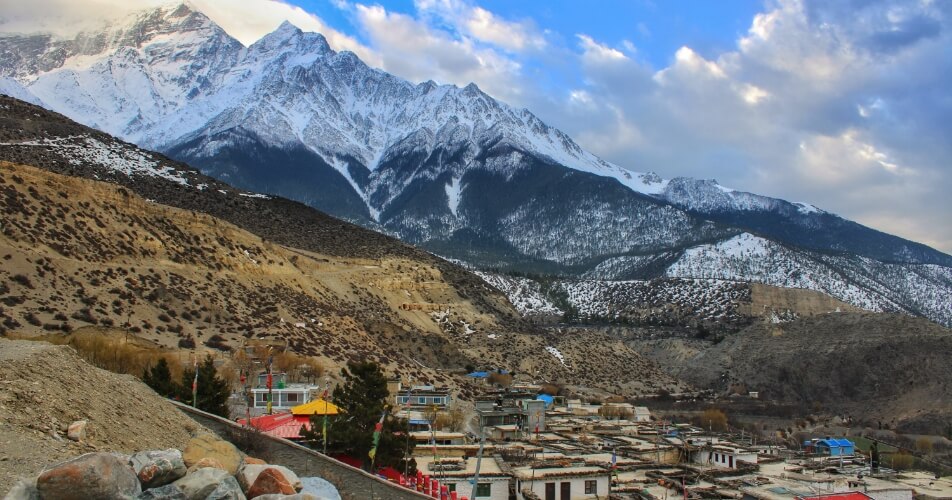
During this trip, you will trek through remote valleys, over high mountain passes, and past centuries-old Buddhist monasteries. You will hike an average of 5 to 7 hours a day, along mountain paths, across suspension bridges, and through villages where time seems to stand still. The elevation changes are sometimes significant, and comfort along the way is limited. But those who love going ‘off the beaten path’ will certainly get their money’s worth here.
On this page, we provide practical information about accommodations, daily distances, luggage, accessibility, and other frequently asked questions. This way, you know what to expect and how best to prepare for this special trek through the heart of the Himalayas.
Lorem ipsum dolor sit amet, consetetur sadip scing elitr, sed diam nonumy eirmod tempor invidunt ut labore et dolore magna. Lorem ipsum dolor sit amet, consetetur sadip scing elitr, sed diam nonumy eirmod tempor invidunt ut labore et magna. Lorem ipsum dolor sit amet, consetetur sadip scing elitr, sed diam nonumy eirmod tempor invidunt ut labore et dolore magna.
-
Is this trek suitable for me?
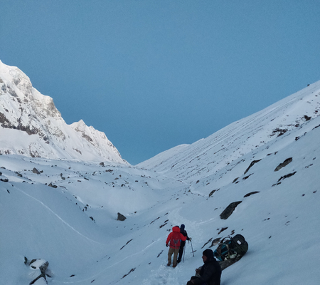
This trek is ideal for those who love adventure, tranquility, and authentic mountain culture. You don’t need to be a top athlete, but good physical condition is important. The trek goes up to over 5,000 meters and involves hiking for several consecutive days. Experience with mountain hiking is a plus.
-
How strenuous is the trek?
The trek is moderate to strenuous. You will hike between 5 and 7 hours a day on mountain trails with ascents and descents. The altitude, remoteness, and basic facilities make it physically and mentally challenging.
Checklist:
– Good hiking fitness
– Experience with multi-day hikes or willingness to train
– Flexible attitude and adaptability
-
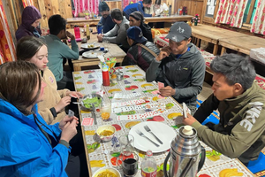
What are the accommodations along the way?
You will stay in simple lodges or homestays. Do not expect luxury: the rooms are basic with a hard bed and a blanket. Toilets are usually shared and in the Nepalese squat style. Running water is often cold. Sometimes a bucket of hot water is available (for a fee) to wash yourself.
Comfort checklist:
– Sleeping bag (comfort zone down to -10°C)
– Own pillowcase or travel sheet
– Flashlight or headlamp
– Wet wipes or quick-drying towel
– Flip-flops or sandals for the evening
-
Is there Wi-Fi or mobile coverage?
Mobile coverage is limited and Wi-Fi is virtually non-existent in the Tsum Valley. In a few villages in the Manaslu area, there is limited coverage via NTC or Ncell. If you want to stay connected, buy a Nepalese SIM card with data in Kathmandu.
Tip: Inform your family or work in advance that you will be offline for a while – that is also part of the charm of this trek.
-
What do I take in my daypack?
You carry only a daypack with the items you need during the day. The rest of your luggage is carried by a porter.
Daypack checklist:
– Water bottle or hydration bladder (min. 1.5 L)
– Snacks or energy bars
– Rain jacket or windbreaker
– Warm fleece
– Sunscreen, lip balm, and sunglasses
– Personal medication
– Toilet paper or tissues
– Power bank
-
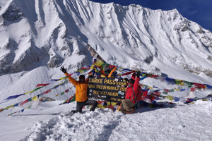
Do I need to acclimatize?
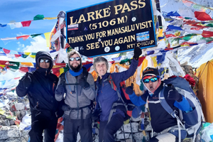
Yes, the program is structured so that you climb gradually and have multiple acclimatization days, especially for the Larke La Pass (5106 m). We follow the ‘climb high, sleep low’ principle to avoid altitude sickness.
-
What if I feel sick along the way or cannot cross the pass?
We always provide a backup plan. If you are unable to continue due to altitude sickness or fatigue, an alternative route can be arranged locally. The guide is trained in first aid at altitude and will decide together with you what is safe.